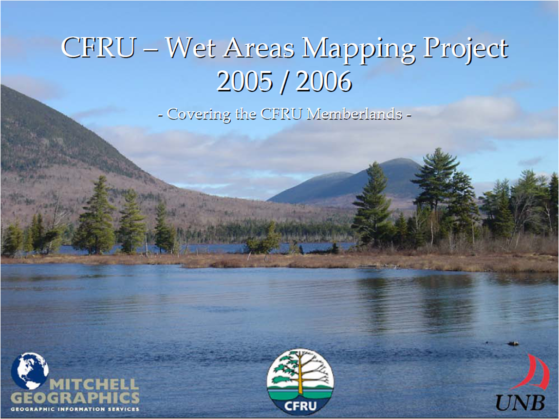
Through a partnership between UNB, CFRU, Mitchell Geographics, wet areas were mapped at the Forest Watershed Research Centre at UNB for all of Maine based on coarse-gridded DEMs (DEM grids at about 30 m spacings). The advantages accruing from using this map in terms of operations planning and best forest management practices was transmitted to CFRU partners through CFRU knowledge exchange workshops. While the map, produced with a 10 m resolution, has a general conformance pattern of +/- 40 m, 8 times out of 10 in terms for stream channel locations. As such, the map provides a seamless and comprehensive coverage of wet areas from uplands to lowlands and in seamless connection with streams, lakes and shorelines including inshore and offshore islands. For a presentation of the wet-area mapping effort for Maine, click on the image below.


