
| Soil wetness indicators | |
|---|---|
 |
Bare-ground LiDAR-derived DEMs can be used to determine soil moisture conditions under wet to dry weather conditions using the topographically derived and cartographically referenced depth-to-water index (DTW) index. The results are compared with the topographically derived terrain wetness index TWI = ln(flow accumulation/ slope). |
| Cartographic Depth-to-Water Evaluations: Foothills, Alberta | |
|---|---|
 |
This poster displays map-to-field conformances regarding culvert locations, flow channels and wetland borders for the Alberta Foothills. The map refers to flow channels, flow-stream crossings, wetland borders, and the cartographic depth-to-water (DTW) index, all digitally derived from LiDAR-DEMs at 1m bare-ground resolution, and from provincial DEMs at 10m resolution (interpolated from 30 m). |
| Cartographic Depth-to-Water Evaluations: Duck Mountain, Manitoba | |
|---|---|
 |
This poster shows map-to-field comparisons for the Duck Mountain Provincial Park Manitoba. Field work refers to GPS-tracking of flow channels, wetland borders, cut-block borders, road and trail locations. These features were then compared with the flow channels and the cartographic depth-to-water contours associated with the DEM-derived wet-areas map. |
| Digital elevation modeling and mapping of upland-wetland transitions | |
|---|---|
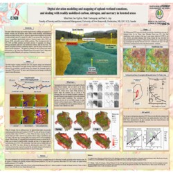 |
This poster outlines how high-resolution digital-elevation modelling and mapping can be used to locate zones and hotspots dealing with the upland-wetland transfer, production and |