| SOIL DENITRIFICATION | |
|---|---|
 |
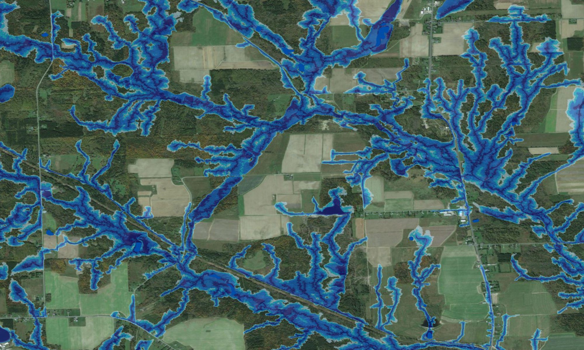
This presentation informs about the modellign and mapping of nitrate-N from uplands and wetlands to streams, and also deals with extent of denitrification as affected by soil drainage, and by the DEM-derived cartographic depth-to-water index (DTW) in particular. |