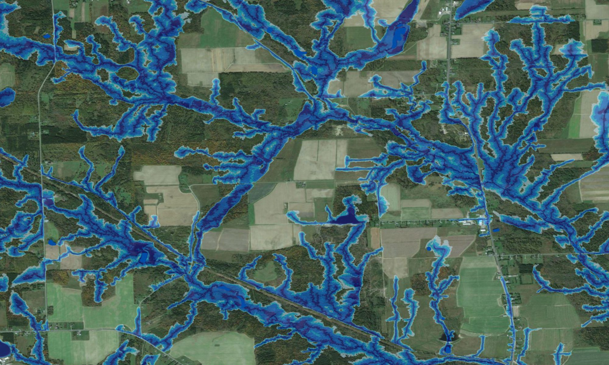
The attached posters deal with improving the current GIS coverage for forest soil and site conditions for the Fundy Model Forest, comprised of private woodlots, industrial freehold (private industrial land), Crown land and the Fundy National Park. The NB Ecological Land Classification indicates portions of five ecoregions, encompassing seven ecodistricts, seven ecosections and all ecosite types (17 types which include subcategories of the eight represented by the edatopic grid) (NBDNR 2007, Moore 2007). The varying ecosite types reflect wide variations in terms of soil parent materials, mode of deposition, root constricting depths, soil texture, coarse fragment content, drainage,and topography