
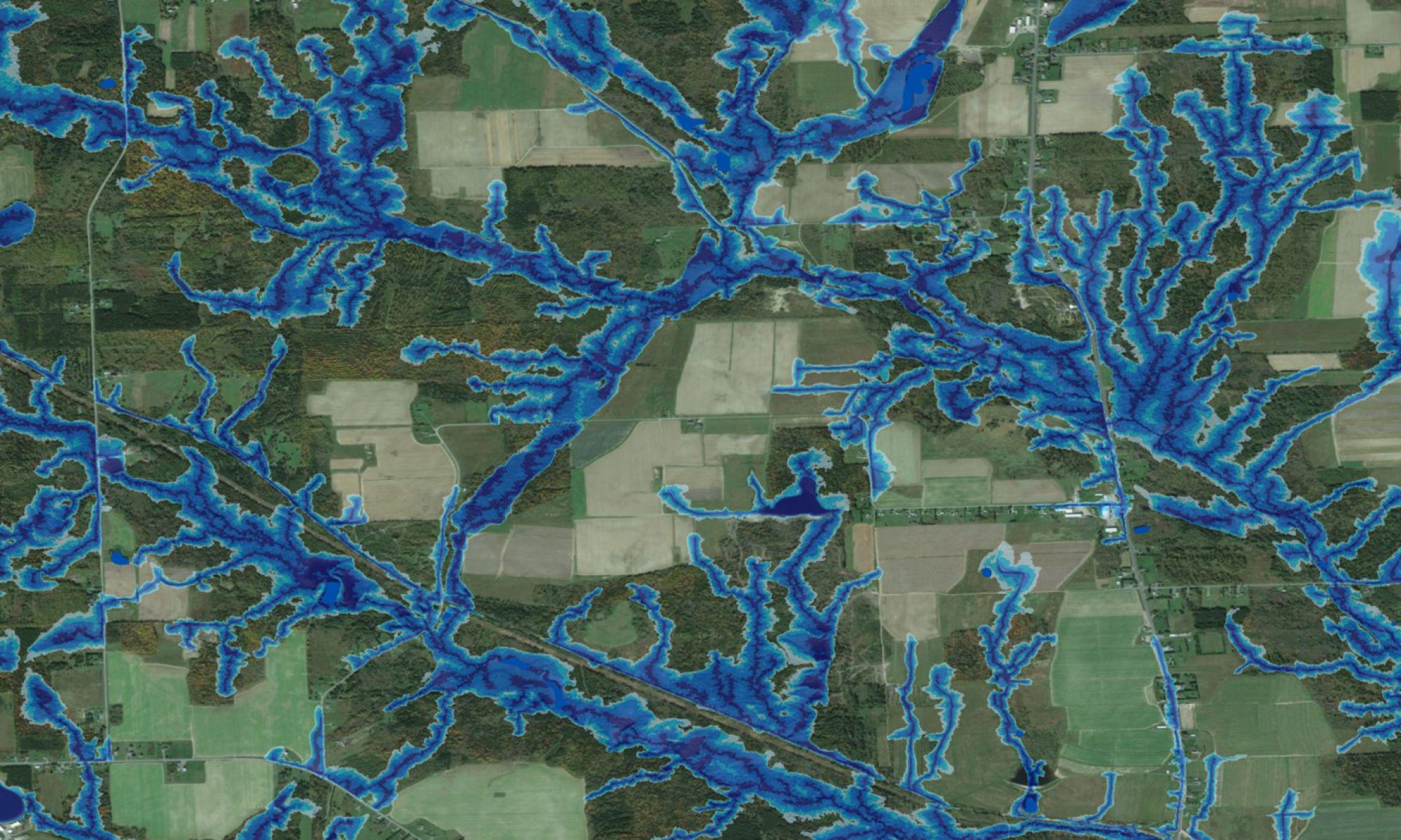

From time to time, we get requests to provide individuals or organizations outside Canada with high-resolution flow-channel, wet-area and cartographic depth-to-water maps. In this way, we produced maps for all of Maine, Vermont, Hawaii, and other locations in the USA. Lately, we have also derived DTW index maps for all of Belize, Haiti, and parts in Romania/ Bulgaria, Slovenia, Uruguay, Germany and Malaysia. These efforts are generally based on local DEM data, or – if such are not available – on downloadable NASA STRM or ASTER DEM data.
Check out the links below!