
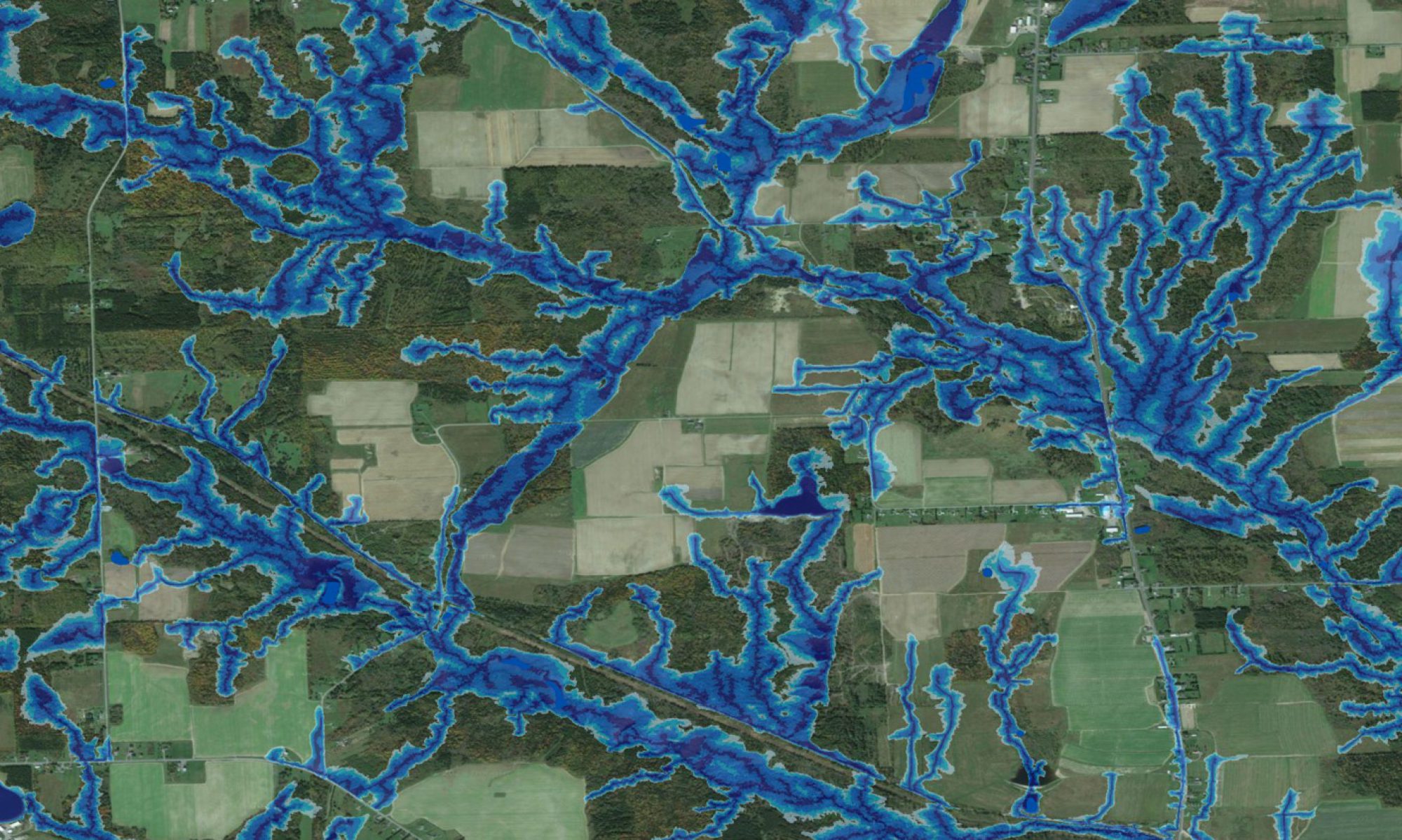

The Belize project was carried out on a request from the Archeological Services – Heritage Branch (Department of Wellness, Culture and Sport, New Brunswick, Canada). The purpose of this request was to determine the extent to which wet-area mapping can become a useful exploratory and planning tool for archaeological investigations. The resulting coverage for all of Belize is shown on the left, with the Googlemap Satellite image as background. The areas outlined in red have special archaeological significance.
Click on http://watershed.for.unb.ca/WAM for details regarding the wet-areas mapping process. The wet-areas coverage for this area was derived from NASA STRM DEM data. The map proved valuable to locate already existing as well as new areas of general and specific historic and cultural interests.