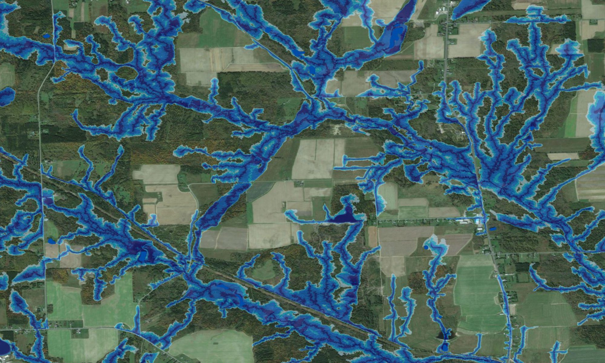
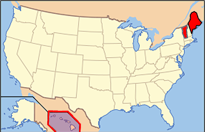
 Based on an enquiry from the University at Maine (Forestry), we were asked to provide the Cooperative Forest Research Unit CFRU with wet-area coverage for all CFRU partners. Following the production of this map for all of Maine, we then proceeded to produce wet areas maps for Hawaii and Vermont as well, each at 10 m resolution. In all cases, these maps provide a vivid field guide for locating many as yet unmapped wet areas and flow channels, across the states. Depending on the time of year and soil and substrate permeability, these channels may or may not contain water, but certainly inform about local variations in soil moisture regime, as readily revealed by local vegetation types across local terrain from hydric (in depressions) to xeric (on or near steep slopes and ridge tops). The maps for Hawaii also pick up on lava-induced influences on down-slope water courses, inside as well as outside the volcanic craters. Information about the Vermont and Hawaii coverage will be entered on this site in the near future.