
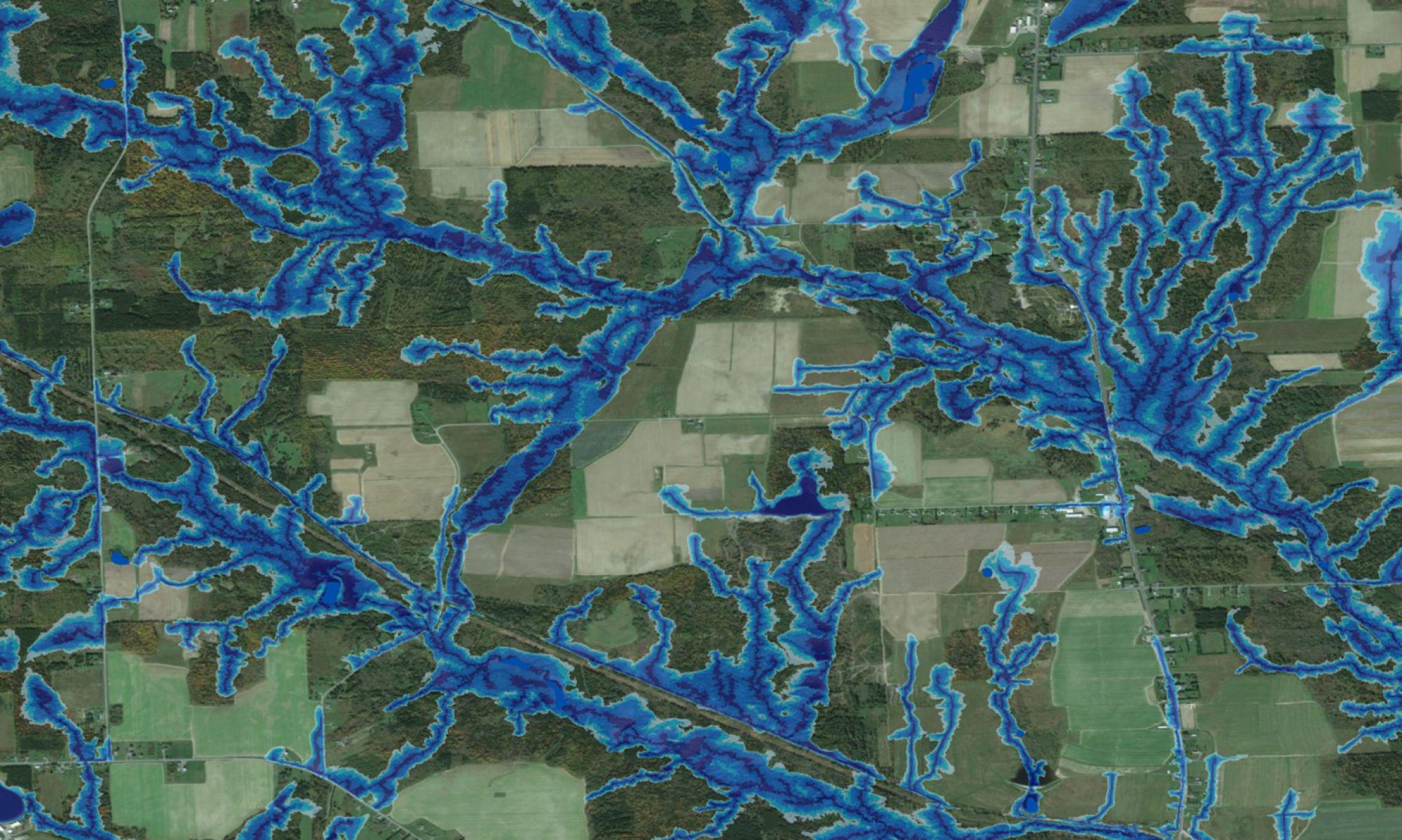
Work at the Forest Watershed Research Centre includes learning how soil type, processes and properties vary across forested landscapes. The wet-areas modeling and mapping approach has been very helpful in this regard, because small-scale variations in soil type are closely knitted to local water flow and retention patterns as revealed fairly reliably and in great detail by the metric and cartographically defined depth-to-water index (DTW). This index emulates the geospatial distribution of soil drainage conditions quite well from very poor to excessive and is also a good variable for quantifying geospatially distributed processes such as soil-based denitrification. The entries within this section document some of the results achieved so far.
Posters
- P.M. Murphy, J. Ogilvie, P. Arp. LiDAR-based spatial modelling of soil moisture conditions and other properties along a boreal wetland-upland catena.
- J. Ogilvie. Examining and further developing predictive soil moisture models based on high resolution DEM datasets.
Presentations
- P.M. Murphy, M. Castonguay, J. Ogilvie, P. Arp. 2008. Soil denitrification.
Thesis Work
- Jeanne Moore. 2012. Refining detail of forest site classification for theFundy Model Forest in New Brunswick
- Bradley Case. 2001. Use of the flow accumulation concept in interpreting spatial patterns of select soil properties at two New Brunswick watershed sites.