
 A flow-channel, wet-areas, and cartographic depth-to-water map was generated for the Moose River Forest Management Unit in Northern Ontario. This map was presented to the Moose First Nations at the Moose Cree First Nations Workshop, May 22-23, 2009, as part of the Knowledge Exchange and Technology Extension (KETE) program associated with the SFMN Project for developing tools for mapping hydrologically sensitive areas. It is hoped that this map will not only assist OMNR- and FN-based forest management planning activities for this area, but will also serve as a guide for planning resource access (forestry, recreation, fishing), for habitat classification and delineations, for developing summer/winter communications corridors, and many other uses
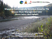
Poster & Presentation
| WET-AREAS MAPPING: MOOSE RIVER FOREST MANAGEMENT UNIT, NORTHERN ONTARIO | |
|---|---|
 |
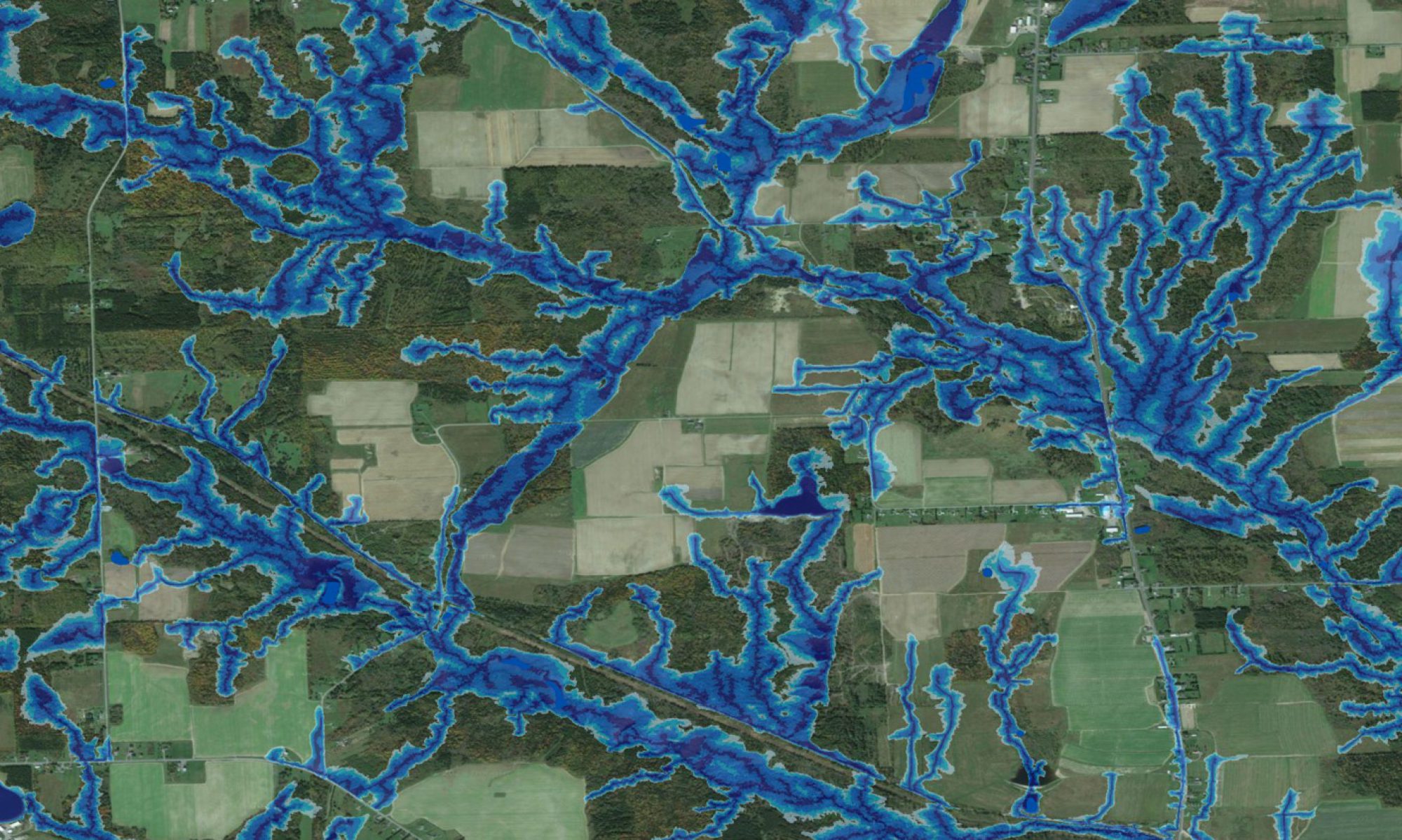
This poster presents an overview of the hydrologically sensitive areas mapping project (HSA) for the Moose River Forest Management Unit (MRFMU) in northern Ontario, as supported by the Sustainable Forest Management Network (SFMN). This mapping involves the delineation of all major and minor flow channels and wet areas, at 10 m resolution. The basis of this is the digital elevation map (NASA SRTM DEM), which is used to systematically locate and delineate the open-water pattern of the area, composed of streams, rivers, lakes, and wet areas with pools and ponds. Hydrologically sensitive areas refer to areas subject to flooding, droughts, soil erosion and washouts, frsot pockets, etc. |
| Wet-areas mapping: Moose River Management Unit, Northern Ontario | |
|---|---|
Download Presentation
|
The wet-areas map for the Moose River Forest Management Unit – made available to the Moose Cree FN at the Moose Cree Community Consultation Workshop in Moose Factory, May 22-23, 2009 – should be helpul for
• facilitating forest operations planning, to minimize costs, risks and impacts
|