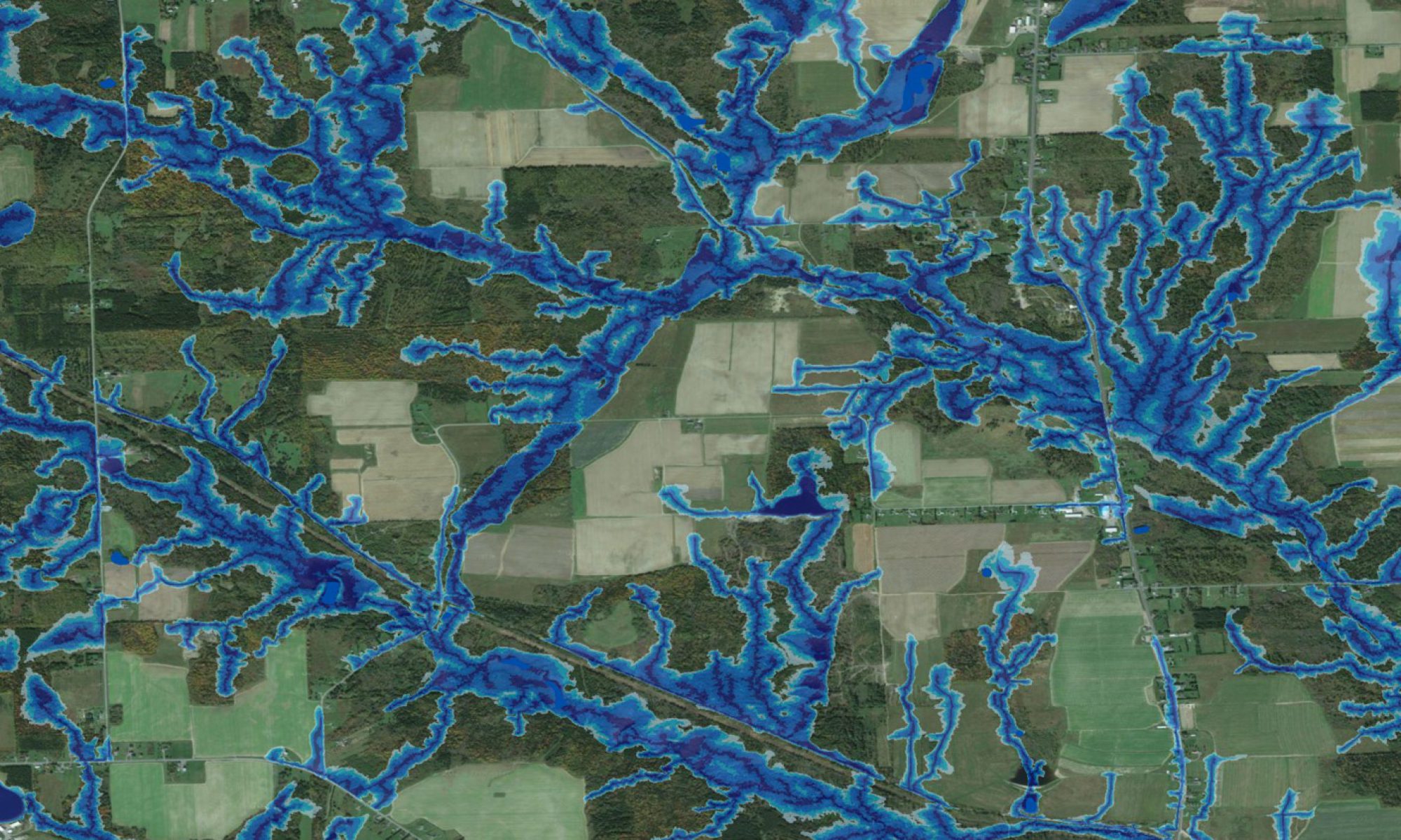
The TRAIL tool (Trail Routing, Analysis, Investigation, and Layout) enables users to develop and evaluate alternate road and trail locations from one point to another across the landscape. The trail selection process is based on ESRI’s Least-Cost Path LCP algorithm. Risks and costs along potential trail locations are evaluated according to terrain conditions (slope, ruggedness, soil wetness, streams, vegetation height and density), machine type (load per tire footprint), and access restrictions (Limited Use Zones). For details regarding tool development and application, see Campbell (2012, MScF thesis), and Campbell et al. (2012, Journal of Geographical Information Science, under revision).
Contact us if you are interested in getting more information about the TRAIL tool.
The Forest Watershed Research Centre offers data compilation and TRAIL execution services on a contract basis. Contact us if you are interested in taking advantage of our in-hour expertise.
- Easy installation
- Intuitive user interface
- Full help system with FAQ
- Support for LiDAR
- Support for multiple GIS data formats
- Quickly create multiple scenarios based on user preferences
- Calculation of cut/fill volumes as well as culvert dimensions where stream crossings are warranted
- Evaluation of multiple scenarios
What’s New at Version 1.2.1
- Allow penalty-free passage on roads in non-trafficable areas (NTAs) and limited use zones (LUZs) with user ok.
- Allow user input of depth-to-water that is used to establish the threshold.
- Improve performance of building LUZs.
- Implemented snap to feature so that you can more precisely locate a route start and finish.
- Created a TRAIL web portal for download and product activation.
What’s New at Version 1.1
- Significant improvements to reporting of variables along routes.
- Added a clear setting tool.
- Added support for file geodatabases rasters.
- Added new help content.
If you have a TRAIL-related question then feel free to post it and we will do our best to get back to you as soon as possible. If we feel that your topic might be of interest to others then we will include it (anonymously) along with our answer in our FAQ.
TRAIL has the following system requirements:
GIS Software: ArcGIS 10, Service Pack 3 ArcGIS Spatial Analyst Extension Microsoft Office Excel
Datasets: LiDAR generated Full Featured DEM (optional) Bare Earth DEM Wet Areas Raster (DTW) Linear Features (roads, trails, seismic lines) Polygon features (lakes, LUZs, non-trafficable areas)
Data Formarts: Vector data can be file geodatabase featureclasses or shapefiles. Raster data can be file geodatabase rasters or ArcInfo GRDs. Enterprise geodatabase (ArcSDE) is not supported in this version.
Licensing: A TRAIL license activation code is required to run the application. Download a free 30-day trial or contact us to request a 1 year license or custom work.
Check out this link for instructions on tool activation and installation.
Having trouble with your activation or installation? Click this link for a contact form.

